This afternoon, the Year 4 class enjoyed a topic lesson with a difference. We studied maps (old and new), identified different countries and their capital cities, read a poem called Globe Trotter, began work on a class piece of art, visited the local shops and carried out a locality survey.
Location survey
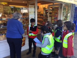
We asked different people if they could spare five minutes to help us with our survey. Members of the public were very willing to answer some questions and commented on how polite the children were.
- “What is your main concern about the area?” “The parking and the traffic.”
- “What is your main reason for visiting this area today?” “I’m talking a walk with my child and visiting the shops.” “How often do you visit this area?”
- “Almost every day.”
We will be interpreting the data collected and then it will be put into different kinds of charts.
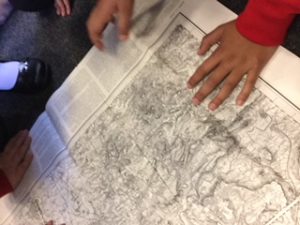
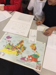
Ordinance survey maps
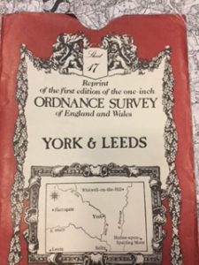
The children searched for our school on the map.
Jess stated: “Well, our school won’t be on that map because it was built in 1915 and this map is before that date.” Good knowledge, Jess!
The shape of the land
Following a task to identify countries by their shape, borders and coastlines, work began on our very own version of the British Isles.
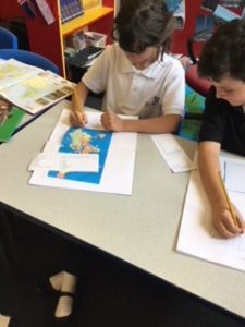
Using paint mixed with glue the land was transformed. To add different textures we also sprinkled sand on top of the paint. This created a rugged effect. The children will be carrying on with this project over the next few lessons.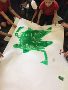
Adding mountain ranges, rivers, towns, counties and a few famous landmarks will complete our work. Stay posted to see the unveiling of the United Kingdom as you’ve never seen it before!
Using stencils, some children created images adding coloured sand to represent different countries.
