We love an OS map

Thursday 06 September 2018

As part of our topic learning, we explored the British Isles using OS maps today.

First, we took a close at what we could see and learnt about what the different symbols, path and road colours mean.

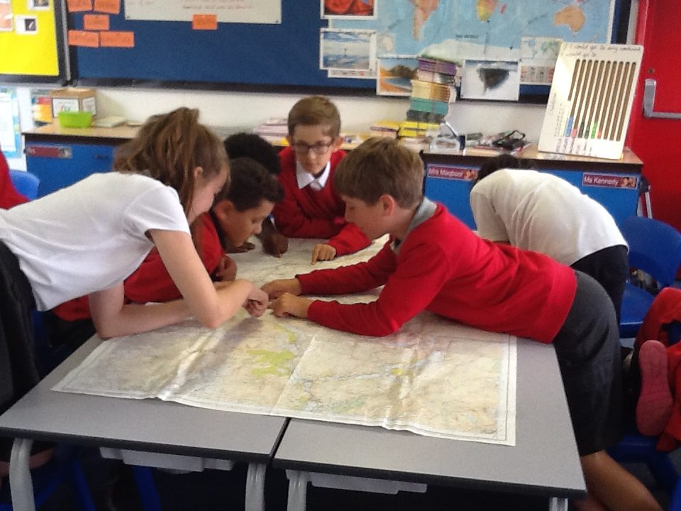
Then, we compared the different OS maps we had, noticing the differences and similarities between them. We could tell which places had lakes, which had mountains and which were near to towns and cities.

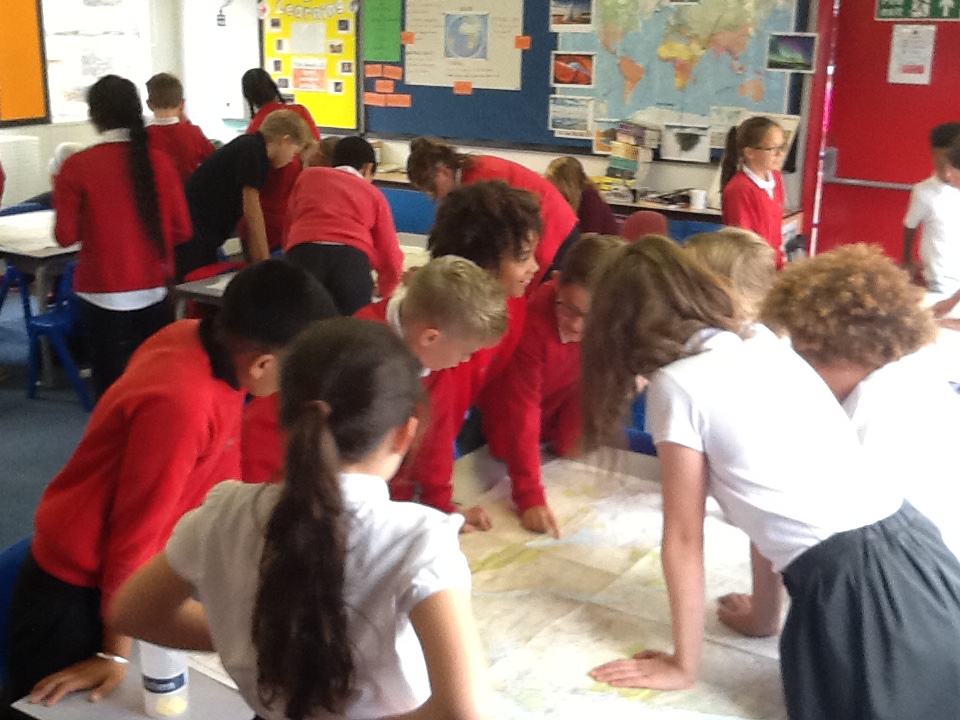
Next week, we’ll be learning more about grid references, combining our geography learning with some computing.

Moortown Primary School, Leeds
Privacy Overview

This website uses cookies so that we can provide you with the best user experience possible. Cookie information is stored in your browser and performs functions such as recognising you when you return to our website and helping our team to understand which sections of the website you find most interesting and useful.

You can adjust all of your cookie settings by navigating the tabs on the left hand side.

You can read our full privacy policy, which includes information on the cookies this site uses on our Privacy Policy page